How does one of the world's most northerly railways operate?
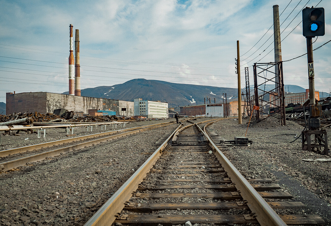
The residents of Norilsk, located within the Arctic Circle, refer to all the other regions of Russia as the "mainland", comparing themselves to an island. The point is that this industrial city on the 69th parallel has no land links with other centers of population in the country. But, what surprises visitors to the city the most is the railway, which, at first sight, seems no different from any other in Russia.
A railway for the Norilsk Combine
In order to enable a whole city to be built in the forest tundra, building supplies, raw materials and fuel had to be brought first. The only way to deliver large cargoes was the water route along the River Yenisey, along which a port was built in the town of Dudinka, 90 km from Norilsk, in 1935.
Sending freight via the Kara Sea would have taken an enormous amount of time and, almost immediately, it was decided to construct a railway line. It was built – like Norilsk and the port at Dudinka – by prisoners of the Norillag labor camp.
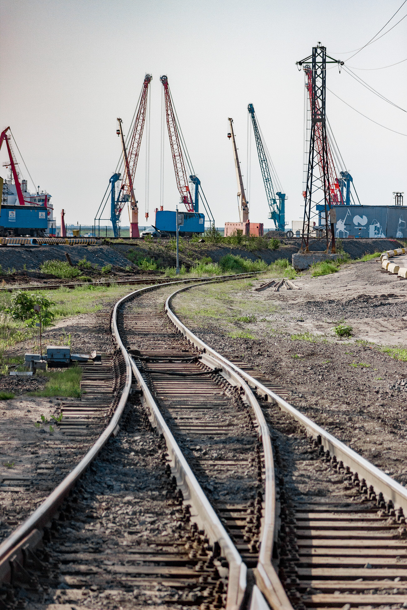 Dudinka, the last stop.
In 1937, when traffic began, the railway had a narrow-gauge track. In good weather, a train could cover the distance from the port to the plants in 10-12 hours (on average, it took 24 hours, since it was rare for the weather to be good). If not cleared in time, snowdrifts would grow to more than human height. Special wooden barriers began to be installed along the railway track to counter them. They acquired the name ‘Potapov shields’ after the surname of the engineer who designed them (we wrote in greater detail about them here).
A few years later, the Norilsk railway was converted to the broad gauge that is standard in Russia, thus enabling the speed of the trains to be increased. In addition, there were plans to connect it to another railway.
The Great Northern Rail Route
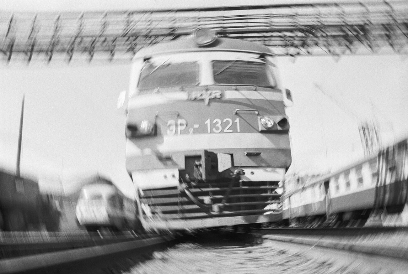 Dudinka - Norilsk train, 1984.
One of the last "grand projects" thought up by Stalin, but never implemented, was the Transpolar Mainline Railway. Experts had been drawing up plans for it since the late 1920s, while the idea itself had surfaced under the tsar. The railway was to have passed through the towns of Chum (Komi Republic), Salekhard, Nadym, Novy Urengoy (Yamal) and Igarka on the River Yenisey (Krasnoyarsk Territory) – a total of 1,300 km across Arctic rivers and swamps.
In the long term, the railway was supposed to link the Barents and Okhotsk seas – in other words, literally all of Russia's key Arctic territories. The project was dubbed the ‘Great Northern Rail Route’.
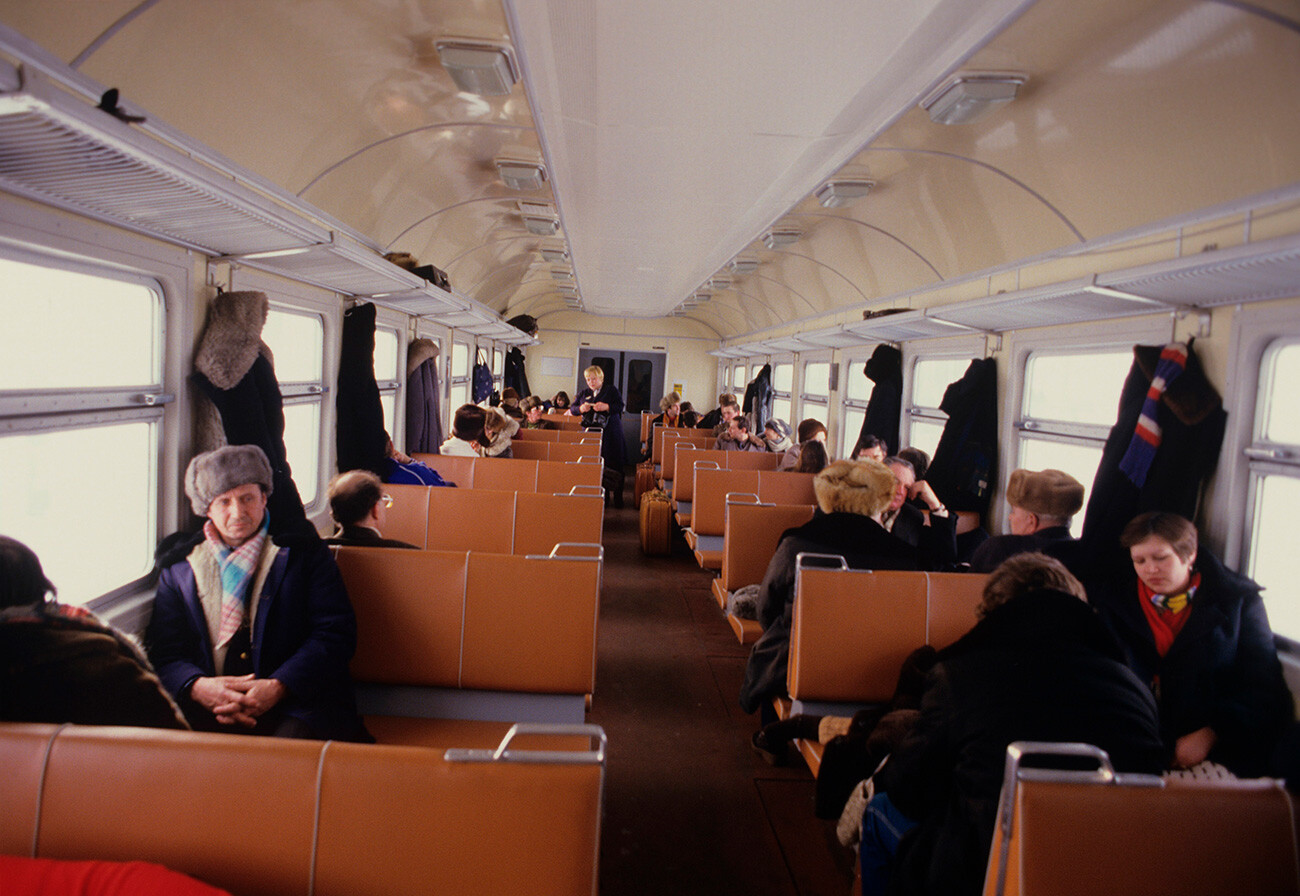 Passengers on the commuter train, Norilsk-Dudinka, 1987.
When construction of the Transpolar Mainline Railway actually began in 1947, the Norilsk railway was already in operation. The distance from Dudinka to Igarka is less than 300 km and plans were hatched to link the two lines. But, after the death of Stalin in 1953, the plug was pulled on the Transpolar Mainline Railway project and the Norilsk railway remained an "island" line isolated from the rest of the country.
A railway terminal from which you can't leave for anywhere
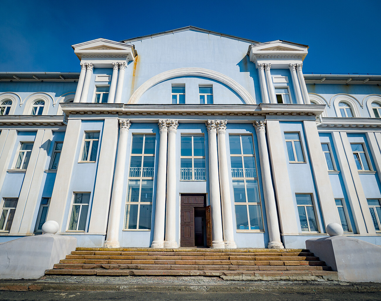 Norilsk railway station is located rather far from the center.
To announce to visitors to Norilsk that they were arriving in the most beautiful city in the Arctic, a railway terminal in ‘Stalinist Empire’ style was built in the early 1950s. Today, the terminal building houses the railway subdivision of the Arctic branch of Nornickel and, since 2011, there has been a museum in the former ground floor waiting room.
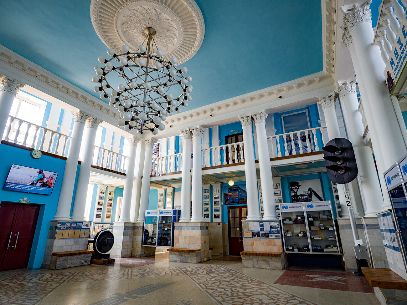 The museum inside the station.
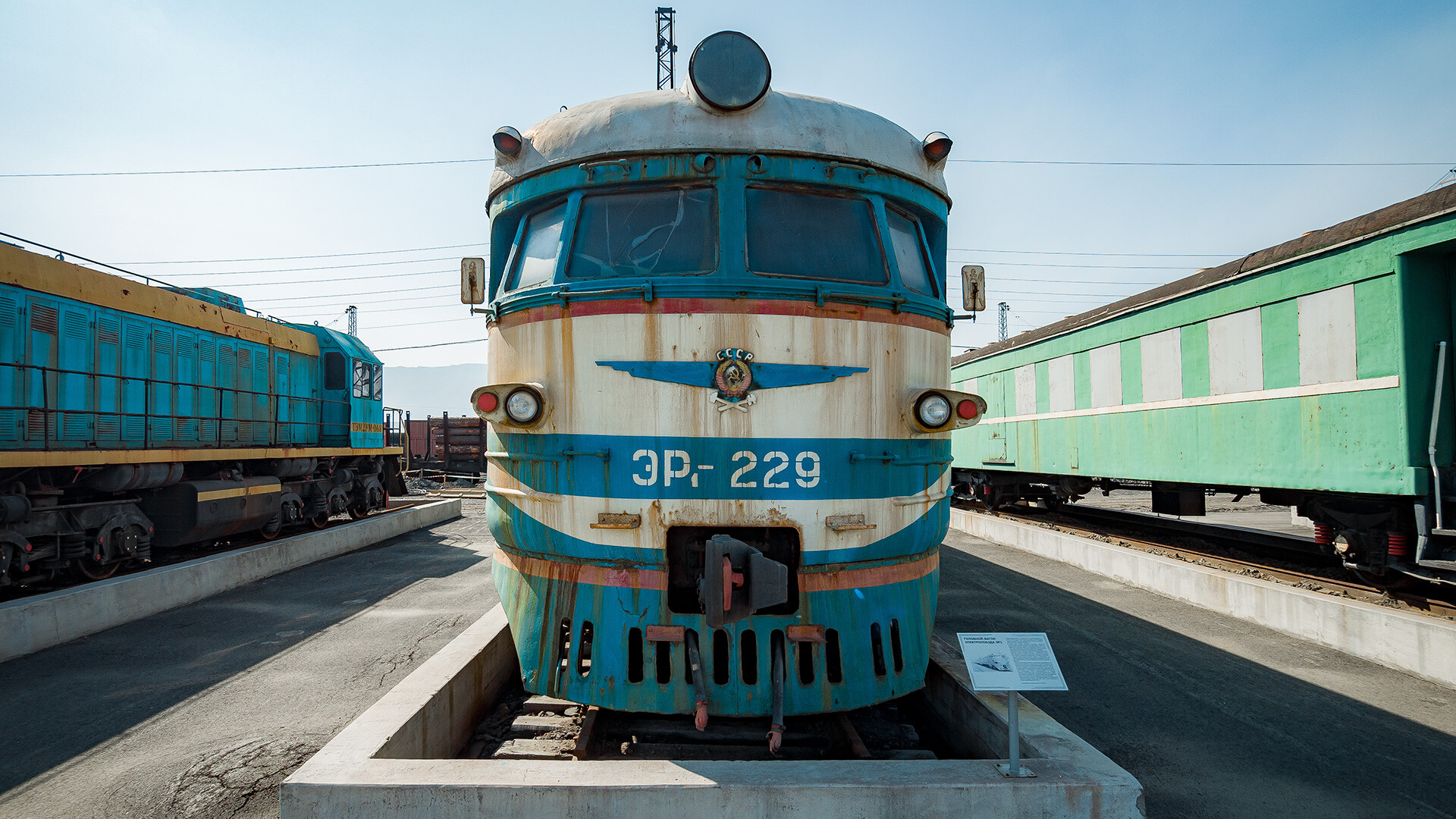
Outside is a display of trains, locomotives, electric trains and even two self-propelled rail cars, which once operated on these Arctic tracks. Inside are columns with stucco moldings, heavy doors and wide windows. You get the feeling that the public address system is about to announce a train and it will be possible to set off for, perhaps, Krasnoyarsk or even Moscow.
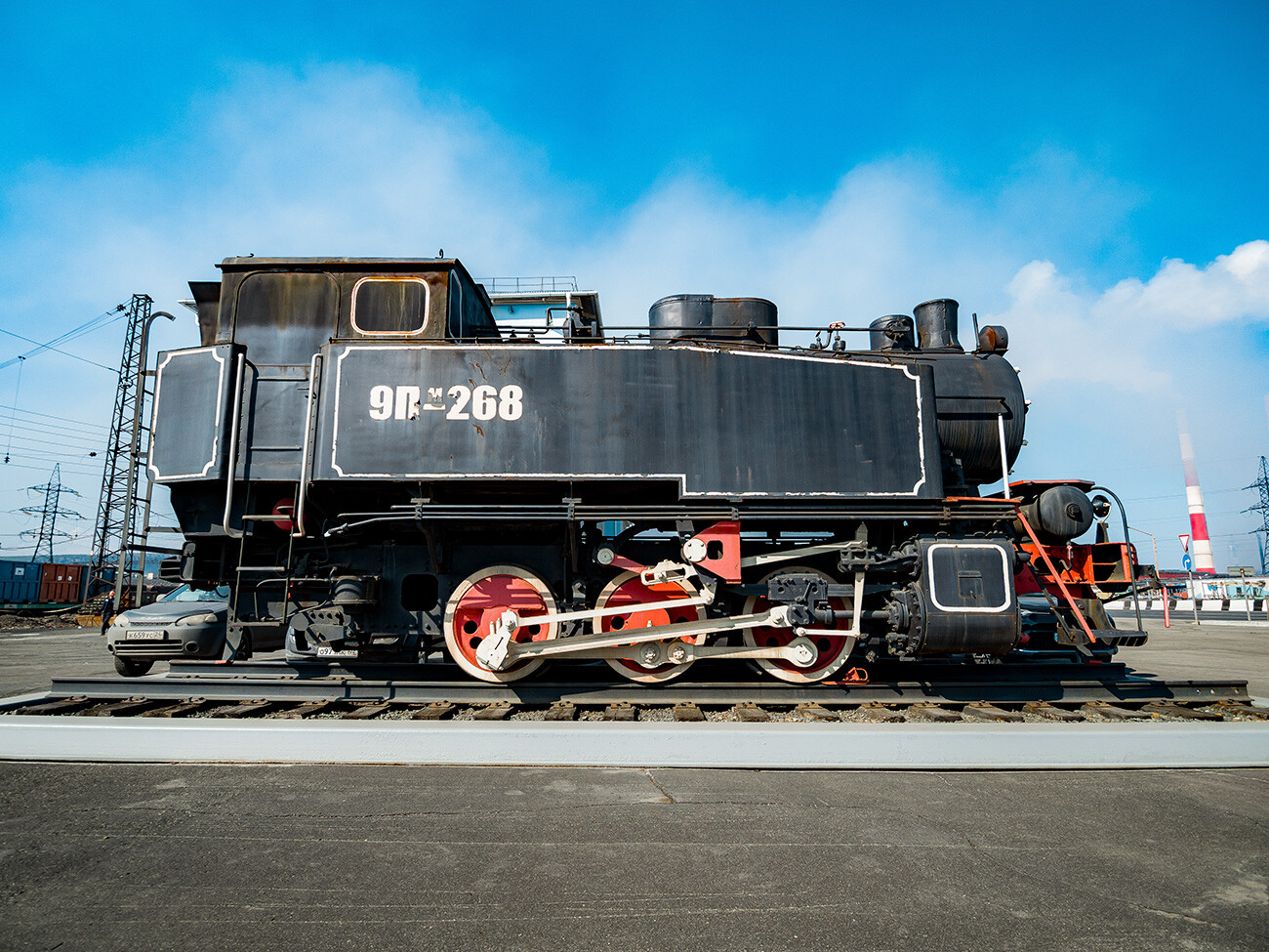 One of the first steam locomotives in Norilsk.
The terminal was practically never used for its intended purpose. Nevertheless, the city itself grew and dynamically developed. The railway was electrified and passenger services commenced in 1961.
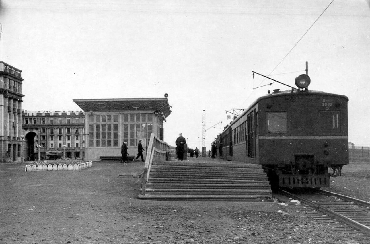 The old station in the center of Norilsk.
The station platform was right in the center of Norilsk on Oktyabrskaya Square. Tickets were sold in a small wooden pavilion nearby. Electric trains connected Norilsk with Talnakh, Kayerkan and the airport at Alykel. The furthest point on the route was the city of Dudinka.
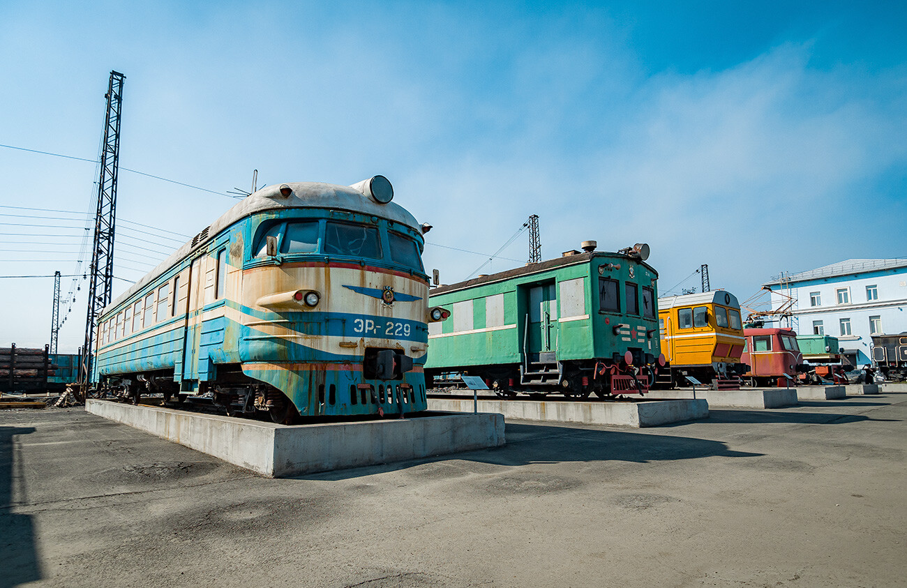 Soviet trains at the Norilsk railway station.
Local residents say that the journey on the electric train took a long time – around four hours. But, despite the fact that the trip by road was twice as fast, the railway service was much in demand. Hardly anyone had a car back then and the road was often blocked by snow, while the clearing of the railway tracks was given priority.
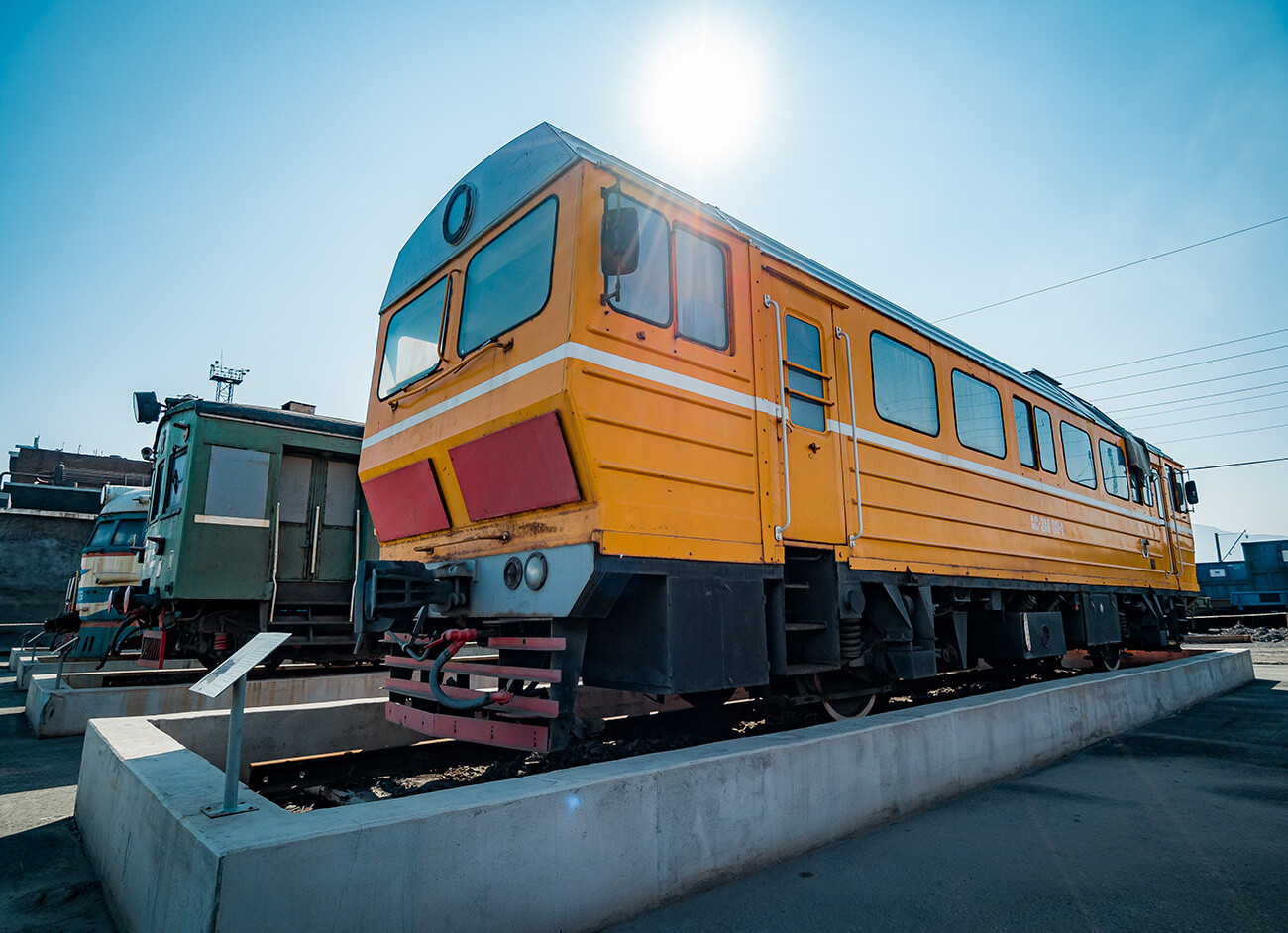
After the collapse of the USSR, passenger services began to be steadily reduced – they were expensive and unprofitable to run.
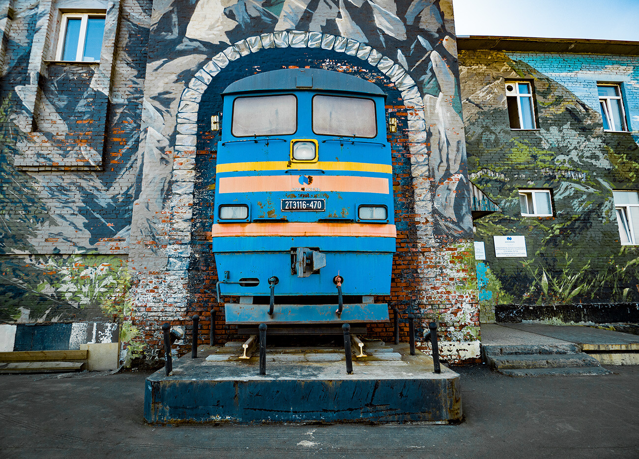
On top of that, things improved with the clearing of snow from the roads. The last electric train carrying passengers to Dudinka departed in 1998.
Freight traffic in permafrost
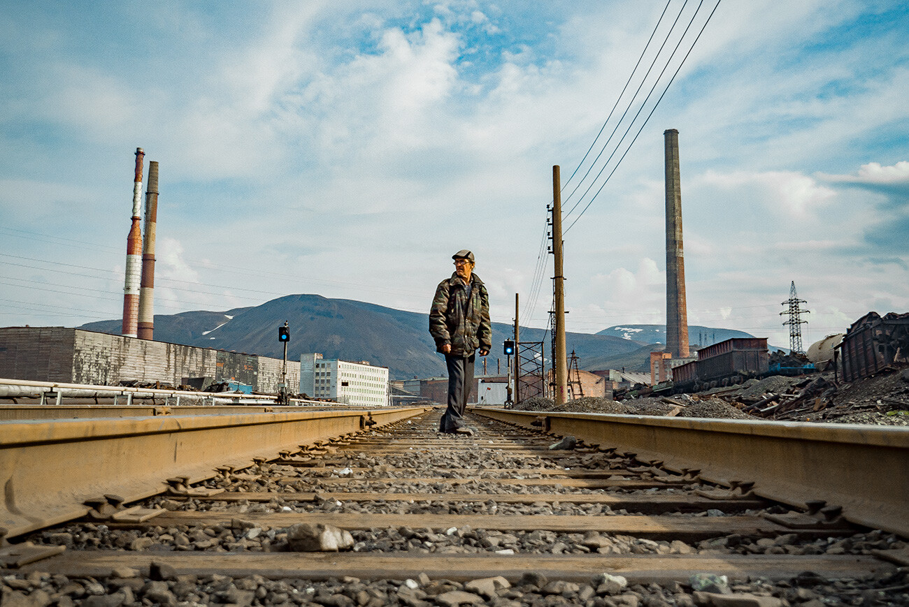
These days, the Norilsk railway is only used for shipping freight between the enterprises of the combine and the port of Dudinka. It would be impossible to maintain operations at the plants all year round without it.
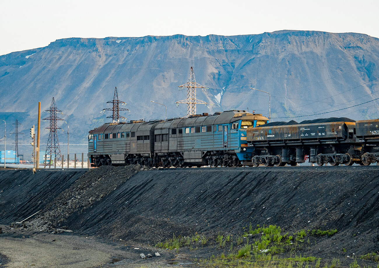
Together with its branch lines, the railway has a total length of 333 km. Freight trains go to and fro every day in all weathers.
Keeping the railway track in good working order is a big task in Norilsk. Constant checks have to be carried out to make sure the rails aren't "sliding" apart because of the permafrost. The distance between them has to be a constant 1,524 mm along their entire length. These days, specialized track maintenance equipment obviously helps in this.

There aren't any other railways in the world today located on the 69th parallel and there haven't been any in the past. There is just one railway further north of Norilsk – on the Yamal Peninsula, leading to the Kara Sea. It was opened in 2010 and helps maintain operations at a gas deposit.
